A Basin Approach to Groundwater Recharge in the Okanagan: Bridging the Gap between Science and Policy
Principal Investigator - Diana Allen, Professor, Simon Fraser University (2005-2007)
Challenge
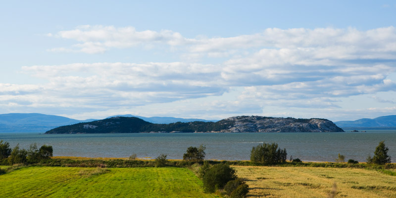
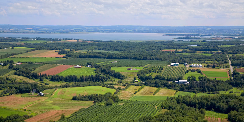
Rapid development in the Okanagan, one of the driest regionsof Canada, has significantly increased demands on both surface and groundwater resources. While surface water exploitation is regulated, there is no currentlegislation governing the development and use of groundwater, which could negatively impact the long termsocial, economic, and agricultural activity of the surrounding watershed. In order to provide governments withthe necessary tools to manage this resource, a basicunderstanding of the current groundwater resource, its development, and vulnerability is needed. In particular, there is a noticeable knowledge gap concerning groundwater recharge relating to spatial variability and relative source contributions of highland, benchland, and valley bottom waters.
Project
The goal of the project was to improve scientific understanding of groundwater recharge variability and recharge mechanisms, which could then be conveyed to stakeholders through a series of targeted decision support tools. Using the Okanagan Basin as the study region, the researchers conducted four integrated projects with the following objectives:
- Characterize direct groundwater recharge and define vulnerability zones
- Define relative source contributions to groundwater recharge (highlands, benchlands, valley bottom)
- Define surface/groundwater interactions within the watershed and the contribution of surface water to groundwater recharge
- Through the PATHWAYS initiative, provide direct transfer of the applied knowledge to decision-makers using an array of software tools and groundwater assessment methodologies. PATHWAYS is part of a broader Natural Resources Canada program aimed at developing spatial decision support systems to help promote and facilitate the uptake and use of earth science information more directly in strategic planning and policy development.
Outputs
- Development of Water Management Strategies for local/watershed–scale applications: Involving a variety of water resource planning partners, the researchers employed an integrated approach to water management that captured the significant role that groundwater plays in the Okanagan watershed.
- Development of a conceptual model for the interaction of surface water and groundwater in representative catchments around the Okanagan Basin, which may help prevent ecosystem impacts in areas supported by groundwater-fed surface water supplies.
- Development of methodologies for undertaking a comprehensive groundwater recharge assessment over a large, complex region.
- Development of decision support tools for more effective management of groundwater resources.
- Development of hydrogeology visualization prototypes. New visualization interfaces, techniques, user factors and evaluation methods were developed to improve the science and knowledge base of hydro-geological visualization.
- Basic prototype interface for communicating volumetric hydrological concepts online
- 3D prototype to model groundwater flow dynamically on desktops. Testing geo-visualization interfaces in laboratory conditions allowed the researchers to gather more data about user performance and refine protocols to evaluate the different prototypes.
Outcomes
- Scientific advancements in knowledge of groundwater recharge at the basin scale.
- Informed decision-making based on the creation of decision-support tools for more effective management of groundwater resources.
- Changes in practice as the basin-wide approach provided a regional context for planning.
- Improved Integrated Understanding of Factors Affecting Water Quality. Results from the direct recharge study were extended to produce aquifer vulnerability maps, which can be used to evaluate the potential vulnerability of aquifers to surface contamination. Adaptable to answer specific questions, the maps can be used directly by decision makers for land-use planning and other management activities.