The Nexus of Transportation and Ecology: Improving Resiliency of Urban Ecosystems through Robust Guidelines on Road-Valley Crossings
Principal Investigator - Donald Jackson, Professor, University of Toronto, 2013 - 2014
Challenge
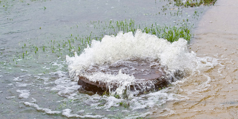
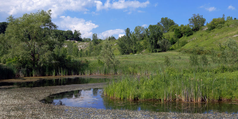
The Greater Toronto Area is expanding rapidly, especially in the areas where current land-use is largely rural and agricultural. As such, land-use plans are undergoing revisions at various levels of government. Conservation authorities, like the Toronto Region Conservation Authority (TRCA), are involved in the development of this process, and thus are well-positioned to have a significant influence on the outcomes of future land-use planning, including the location and design of road-valley crossings. For this reason, it is imperative that these organizations have a comprehensive understanding of the ecological features and functions important for conservation, and how to strategically place these in the larger context of socio-economic considerations.
This proposal builds on previous work that sought to address this need:
- Project (2012-2013): Developing Ecological Function Based Decision Making Framework for Road-Valley Crossings Guideline, Namrata Shrestha, TRCA – research aimed to update the existing road-watercourse crossing guidelines to a more robust interim guideline, and to develop a design support tool to quantify ecosystem functions and services that should be protected through regional Road-Valley crossings.
The goal of the proposed project is to expand the scope of the initial research to incorporate (i) decision making around landscape-context and (ii) the cumulative effects of current and future roads and land-use on aquatic and terrestrial wildlife and habitat. Integrating these components into the decision support tool will guide the strategic location and design of road-valley crossings in the TRCA’s jurisdiction.
Project
The first step of the project will be to identify and map the current and future landscape-context scenarios based on an urbanization gradient – urban, peri-urban, and rural/greenbelt – within TRCA watersheds.
Next, using species lists from the TRCA’s Terrestrial Natural Heritage Strategy (2007) and the Fish Management Plans (2010) as well as available spatial data, the team will create guilds of species that are likely to be impacted by roads at valley crossing locations. Based on the selected guild of species, ecological functions like habitat quality and connectivity will be quantified within the framework devised during the initial project. These ecological functions will then be evaluated, classified, and translated into Road-Valley crossing options for planning and design processes.
The decision support tool developed during the initial project will be adapted to incorporate the additional details obtained from this process.
Finally, two stakeholder workshops will be conducted to disseminate the combined outcomes of the initial and the proposed project in the form of a revised Road-Valley Crossings Guideline, as well as to train relevant staff in on-the-ground application.
Outputs
Anticipated Outputs Include:
- Two day-long workshops which will include different levels of government, the development industry, and consulting agencies. The first workshop will include a small set of subject experts from across North America to provide additional peer evaluation and feedback. This will ensure that the proposed work addresses state-of-the-art knowledge and approaches. The second workshop will provide hands-on training for end-users to apply the tools at an operational level and incorporate into their decision-making processes.
- Provision of a robust, comprehensive toolkit for the TRCA’s partner municipalities, stakeholders at various levels of government and private development industries. The toolkit will include a coarse-level regional mapping tool and a site-level guidance document that takes into account the context of the landscape and the cumulative effects of the current and planned road-valley crossings and land-use. This in turn will facilitate the strategic management of road-valley crossings, and help move watershed management goals forward in relation to ecosystem function.
Outcomes
Anticipated outcomes will include:
- Increased knowledge to aid in decision-making processes, via the provision of workshops and a decision-support tool kit.
- Potential changes in practice by guiding the strategic location and design of road-valley crossings in the TRCA’s jurisdiction. This in turn will help move watershed management goals forward in relation to ecosystem function.
- Potential decrease the impacts on ecosystem health by assisting to refocus goals related to the management of road-valley crossings and ecosystem function.