Developing A GIS-based Integrated Modelling Interface for Watershed Evaluation of BMPs
Wanhong Yang, University of Guelph
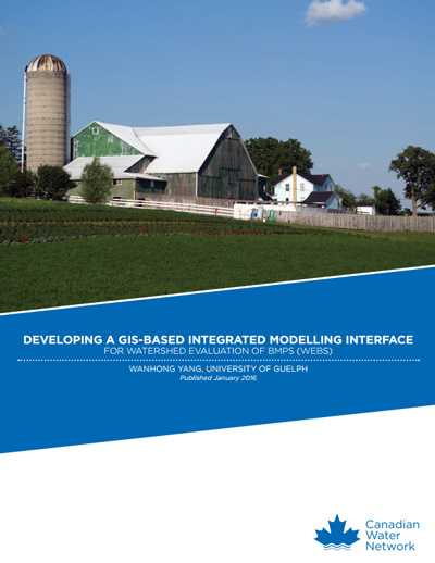
Scientists have been examining information on economic costs, water quantity/quality benefits, and cost effectiveness of agricultural BMPs at a watershed scale using farm economic, watershed hydrologic and integrated economic-hydrologic modelling. This project developed the WEBs open source GIS tool to make BMP modelling systems accessible to agricultural conservation practitioners.