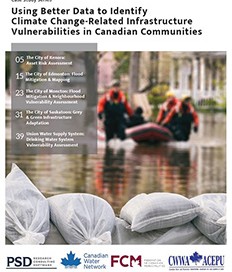
Using Better Data to Identify Climate Change-Related Infrastructure Vulnerabilities in Canadian Communities
PSD, Canadian Water Network, the Federation of Canadian Municipalities and the Canadian Water and Wastewater Association have partnered on a project that highlights five Canadian utilities (EPCOR/Edmonton, Kenora, Moncton, Saskatoon and Union Water Supply System) that are collecting and utilizing data to support infrastructure vulnerability assessment and increase resilience to climate change. These case studies [...]


